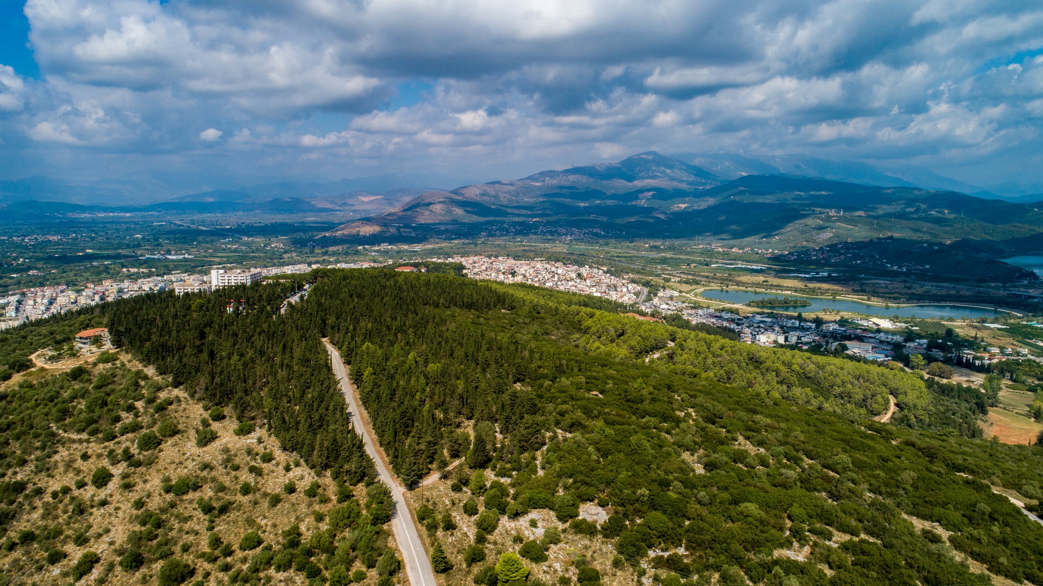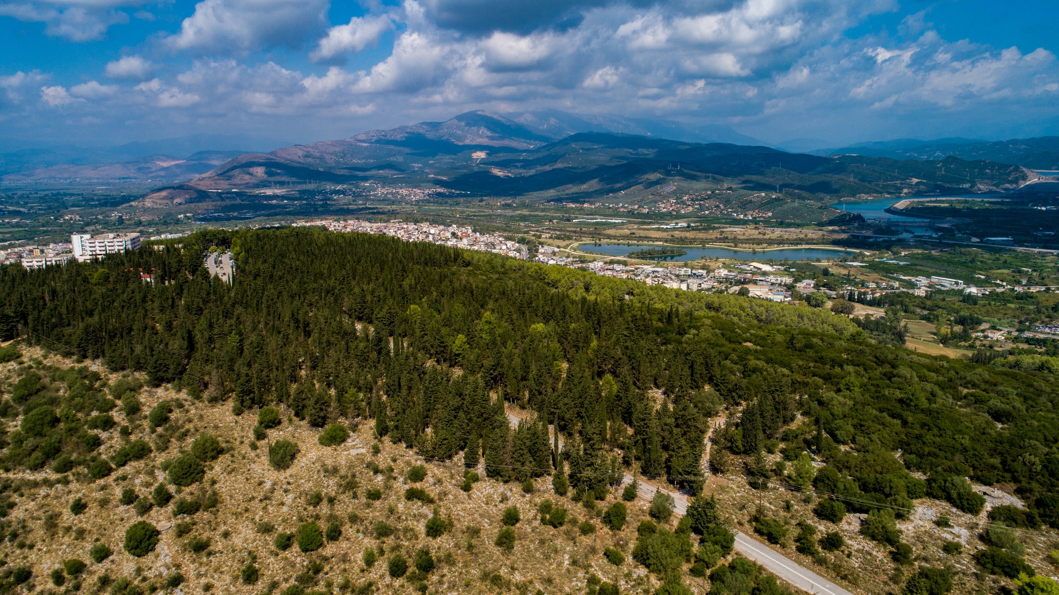

Peranthi hill, also known as Valaora or Petrovouni, is a low geological formation (height 218m) in an NW-SE direction that extends from the coastal wetlands of Amvrakikos to the edges of the Tzoumerka mountain range. It is surrounded to the north and east by the Arachthos River, which follows along the hill as it heads to its estuary to the south. Between the northern fringes of Peranthi and Arachthos, the ancient Amvrakia was founded, which later gave its place to the Byzantine Arta, from where the modern city takes its name. Thus, this rocky outcrop was the natural fortification of the city from the south, enhancing the protection offered by the river from the other sides. The hill’s name comes from antiquity, as evidenced by the Roman historian Titus Livius (1st BC-1st AD), who describes it as a “”rough hill”” that the inhabitants of Amvrakia call Peranthi. Information is also given by Dionysios Kalliphontos, which belongs to the Minor Geographers of antiquity. He calls Peranthi a “”sacred mountain”” where the people of Amvrakia perform worship ceremonies. This view is confirmed by the research of N. G. L. Hammond in the 20th century and the discovery of a sacred Cave of Nymphs, Hermes, and other deities on the hill’s east side.
The strategic geographical position of the hill range was not only exploited by the ancient inhabitants of Amvrakia and Byzantine Arta. During the 1821 siege of the city, it was the Greek revolutionaries’ stronghold and became the place for many battles during the civil war after 1944.
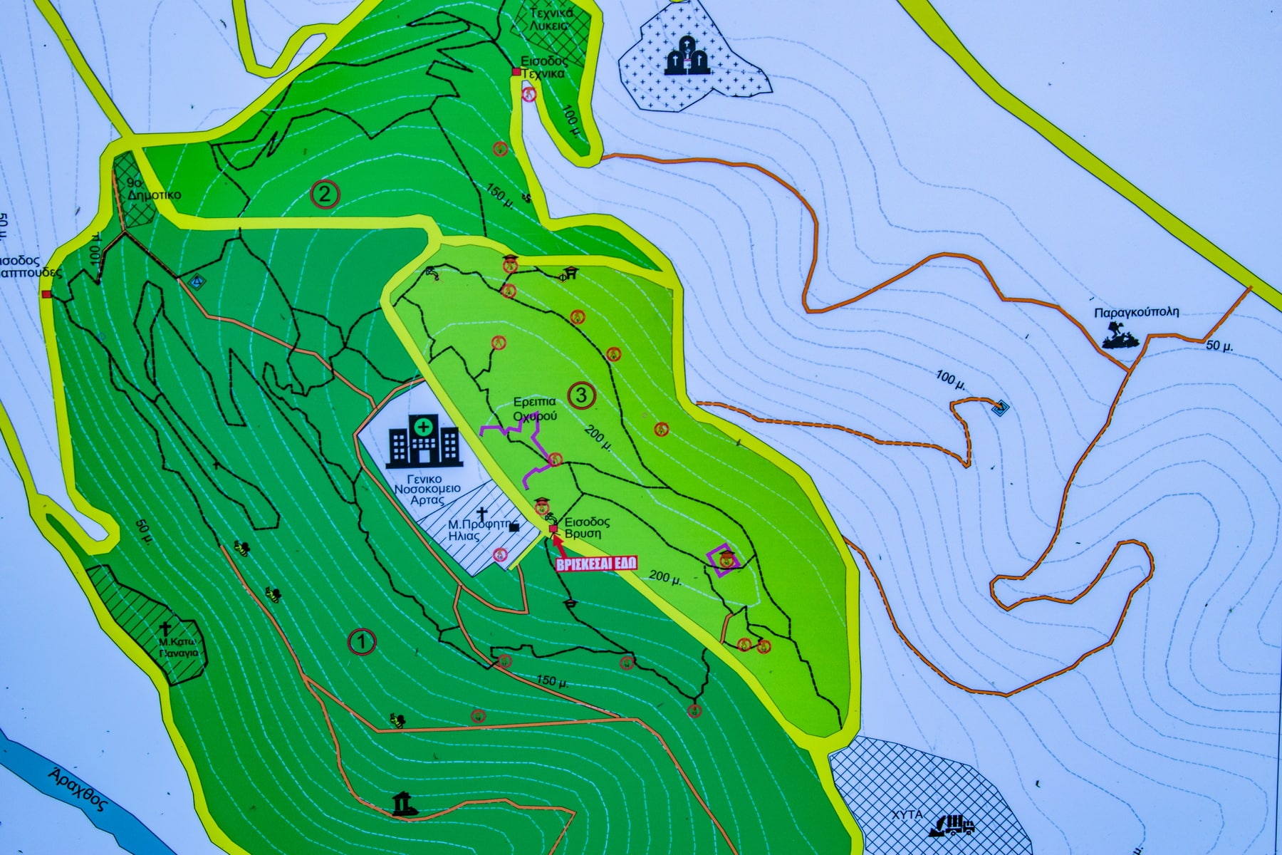
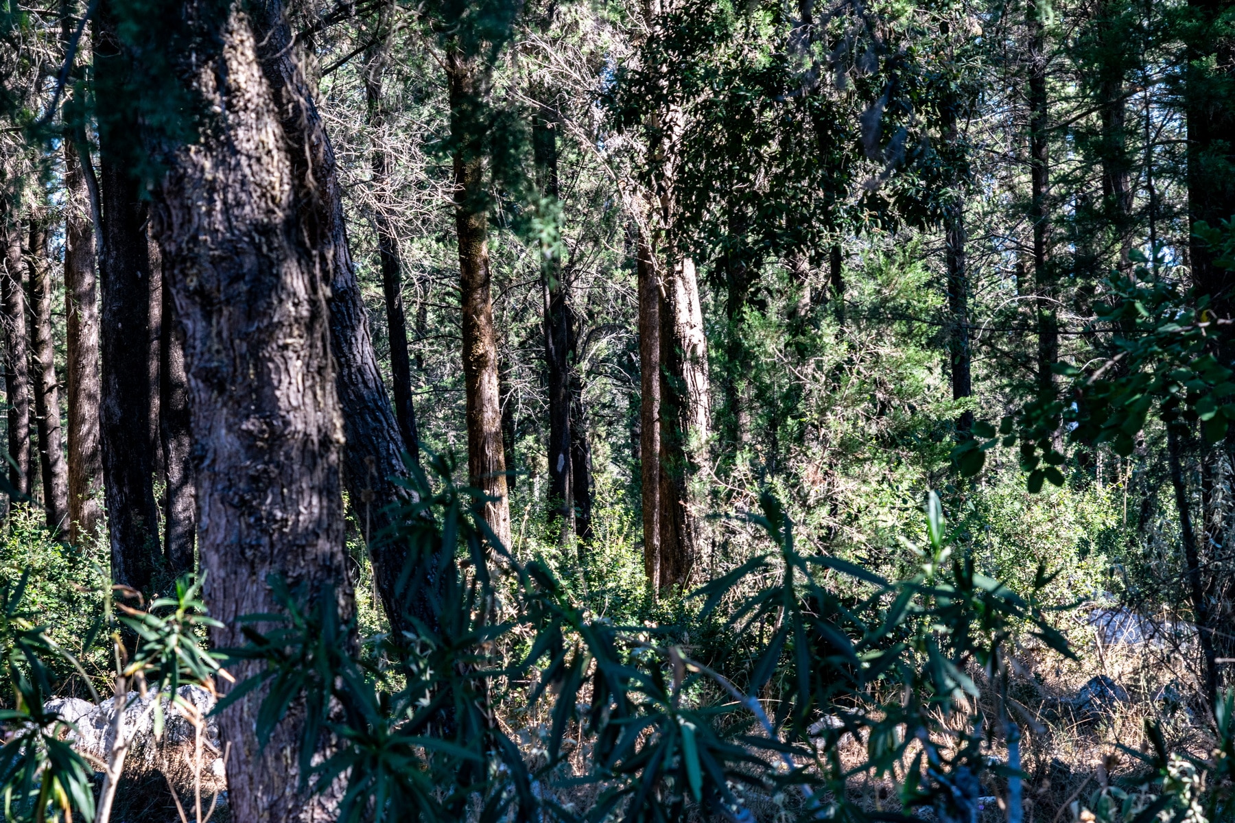
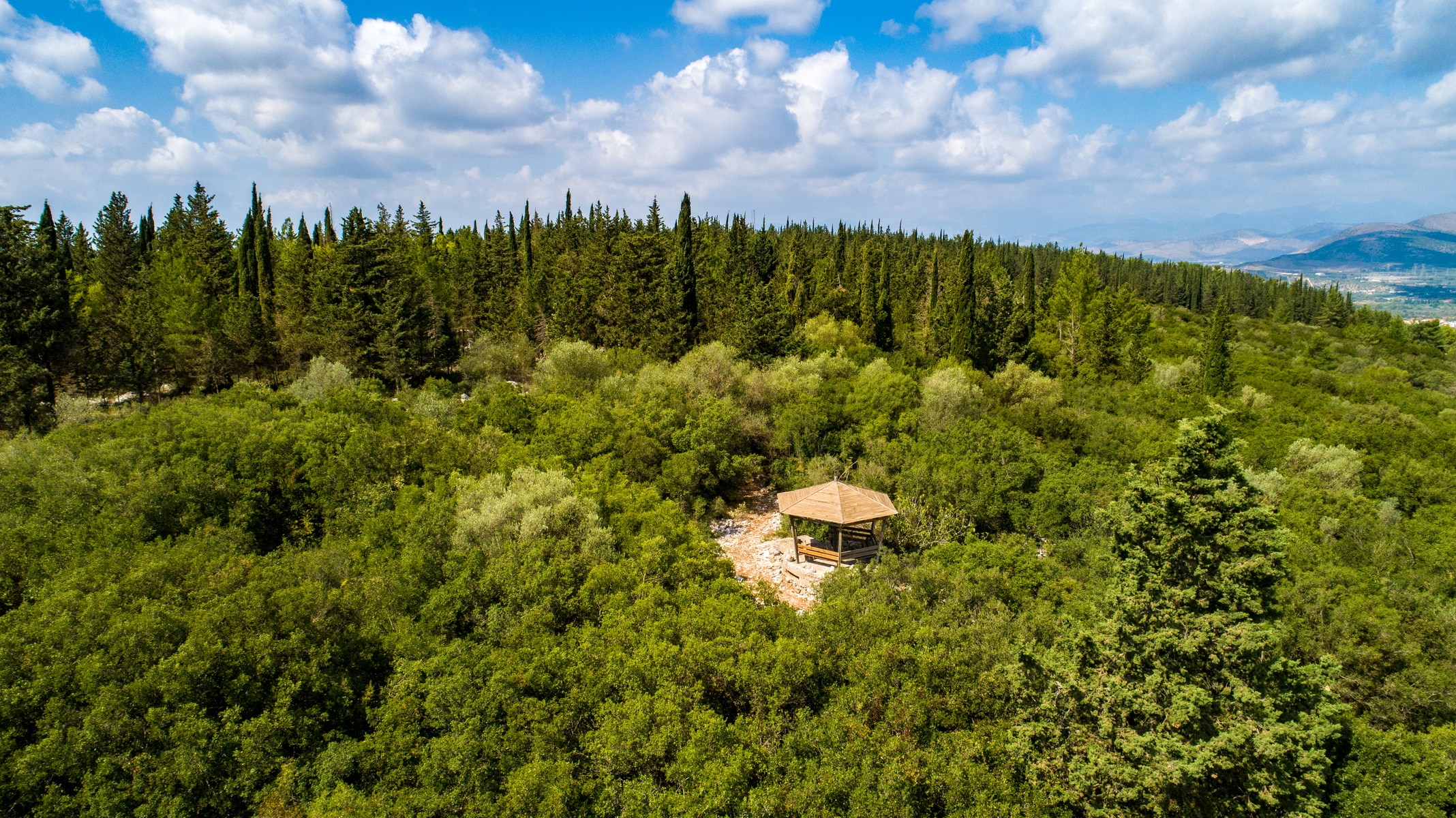
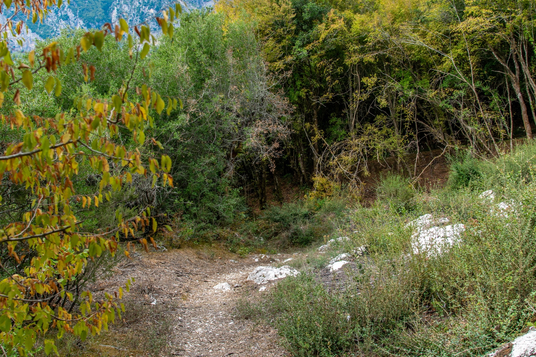
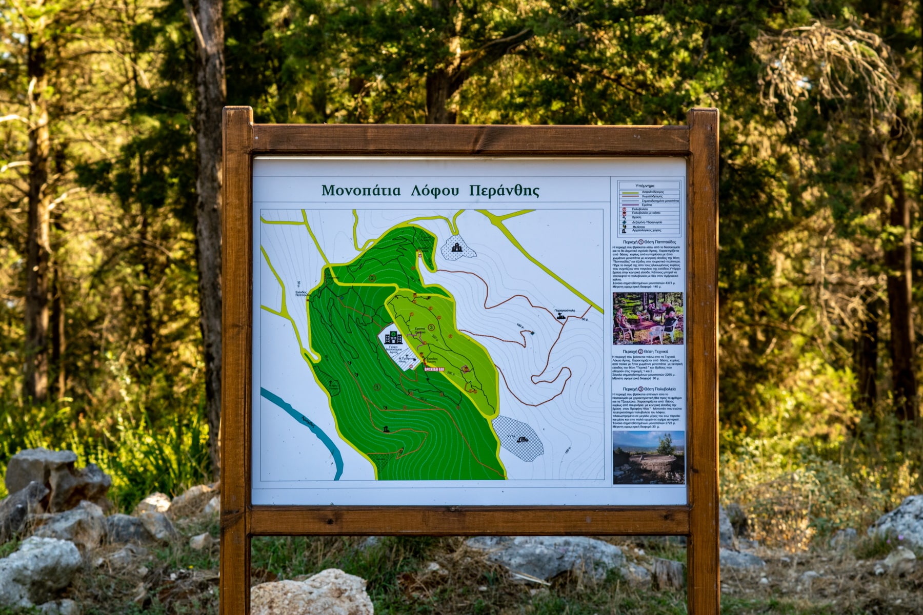
Today it is the suburban forest of Arta, a place ideal for walking, exercising, cycling, and doing various explorations. The cleaning of the paths (total length 10 mm) and their signaling is a voluntary work of the Mountaineering Association and the Association of Runners of Arta.
The top is accessible from the provincial road of Arta – Kommeno and the National side road of Antirrio-Ioannina, at the height of the swimming pool. There is also access through the villages of Limini and Peranthi.
The Tourist Kiosk, a pleasant place for rest and recreation, is located on the hill above the city. Finally, at the top, Arta’s hospital has been built on an older military campsite. The Urban buses of Arta (KTEL of Arta) run daily trips to the hospital.
Suburban Forest of Arta