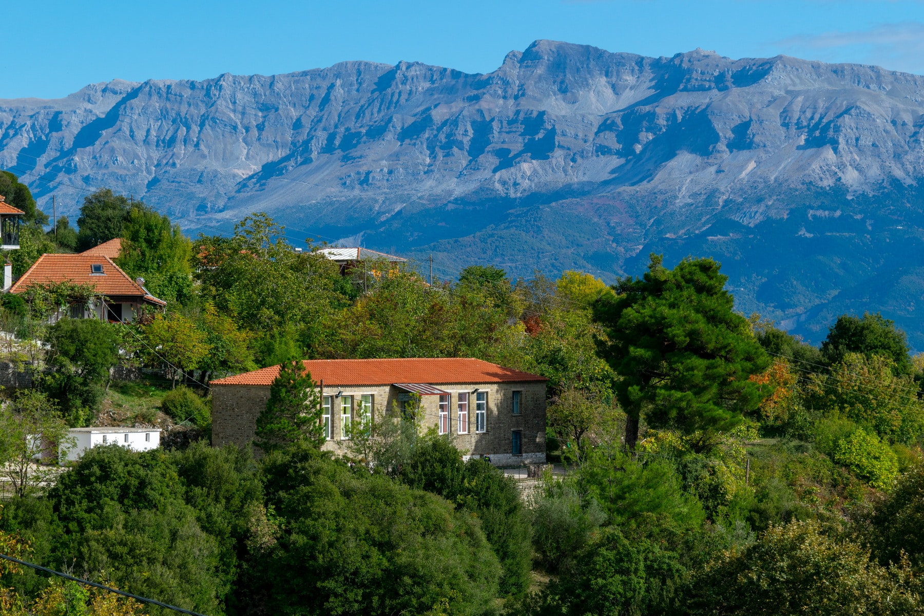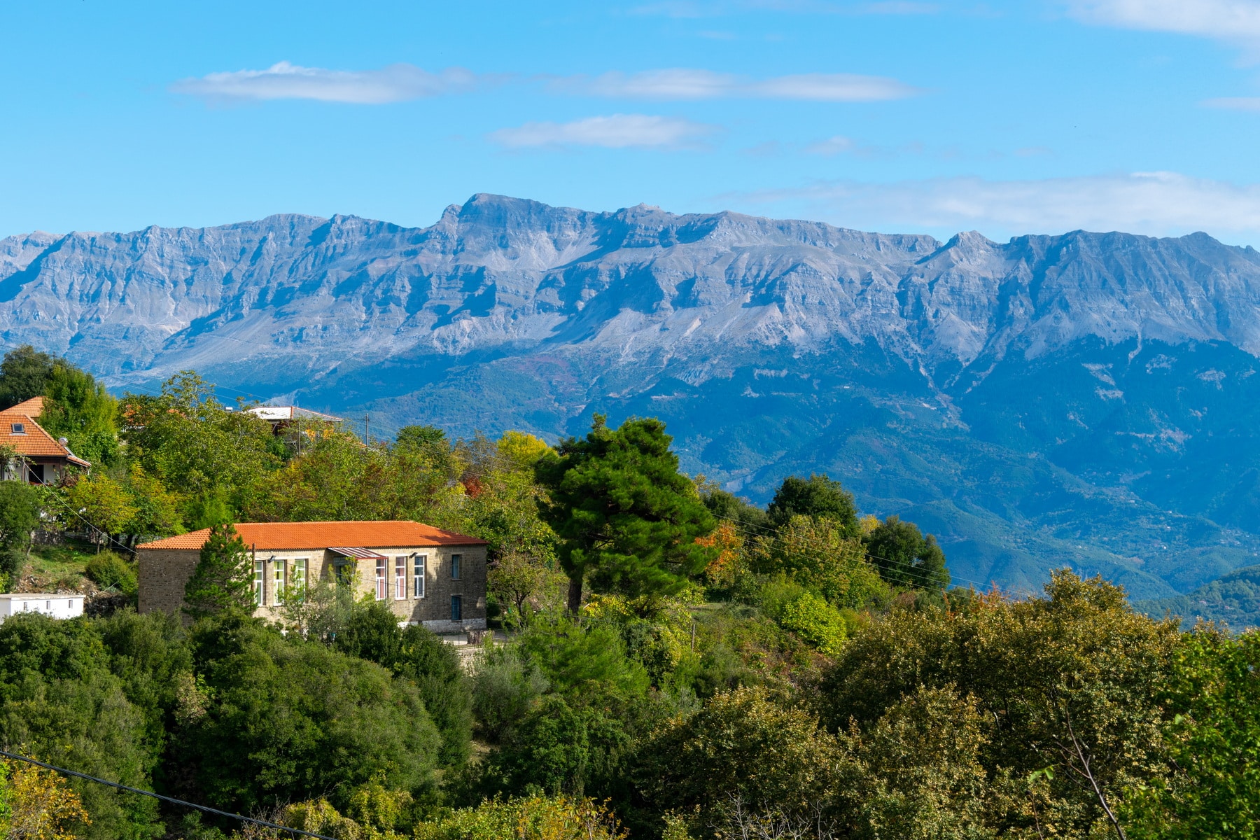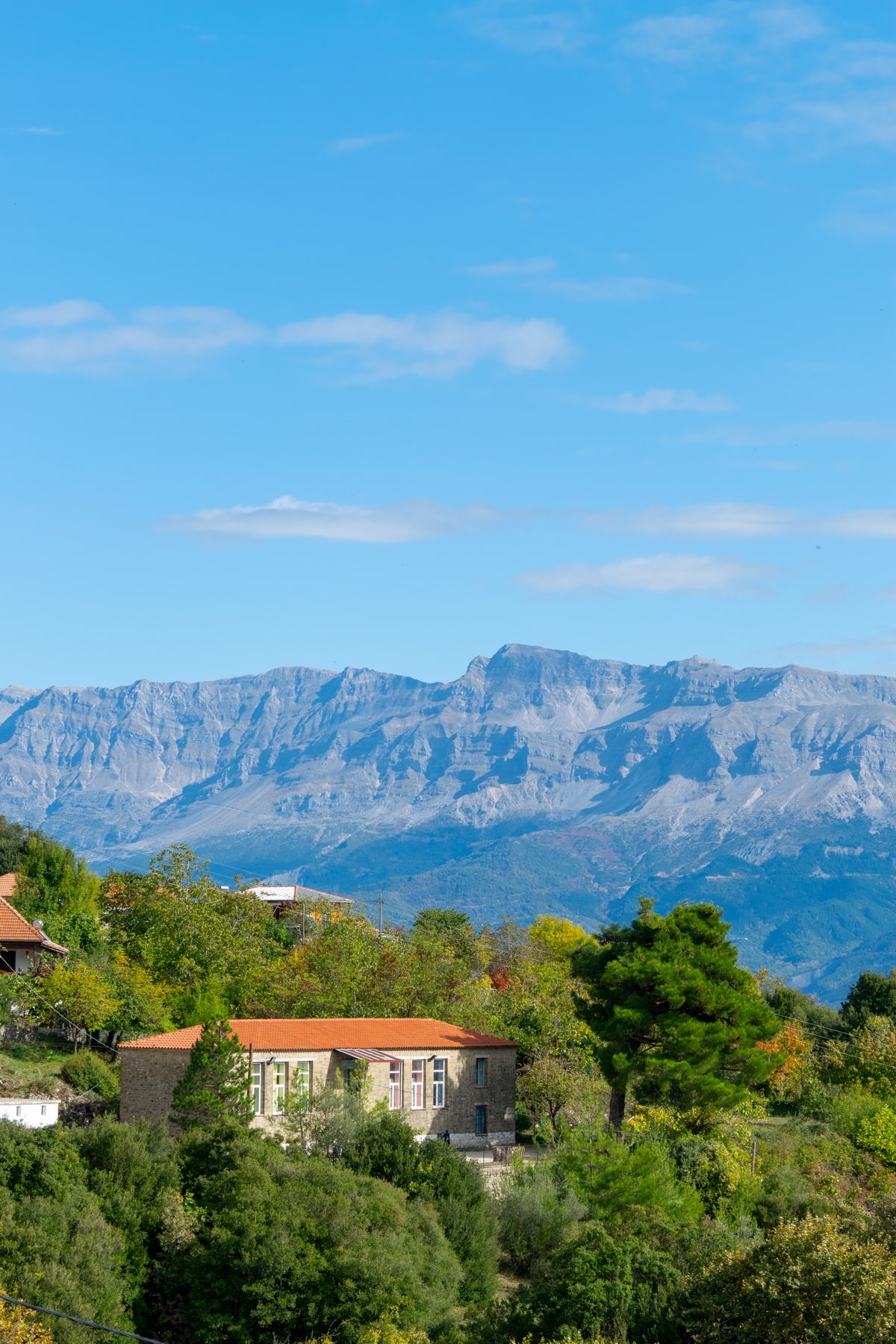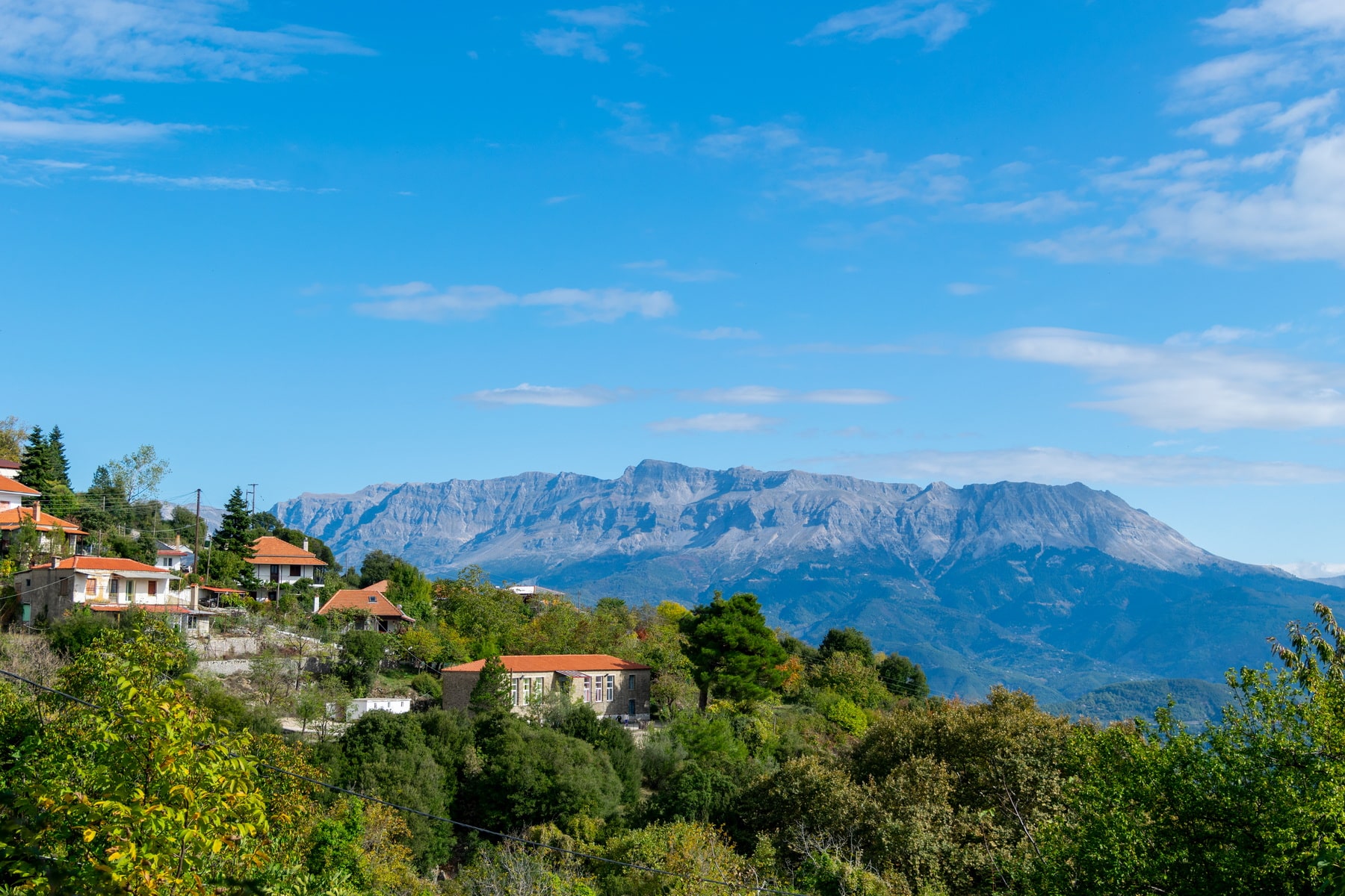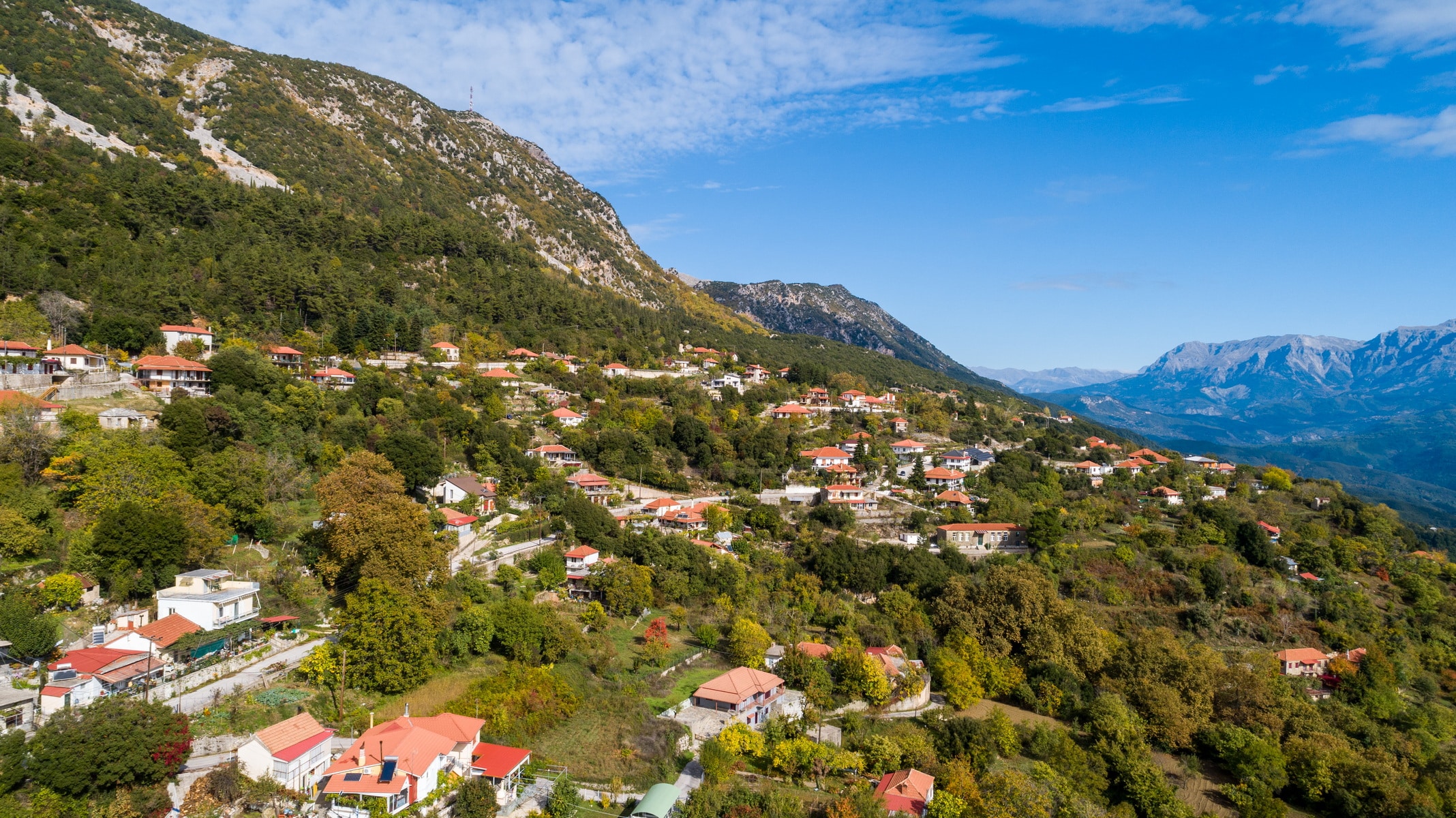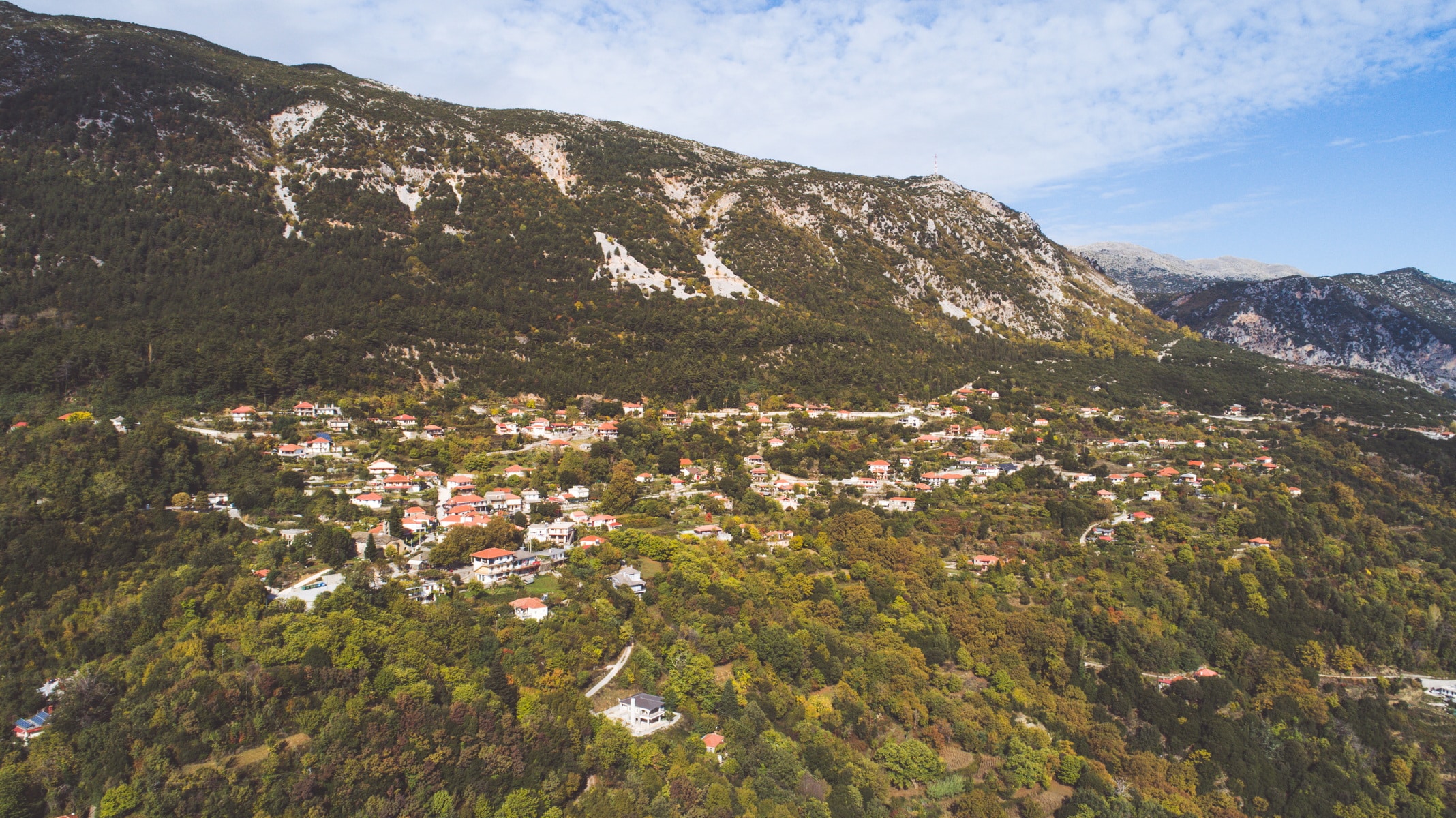

Rodavgi lies on the verdant, eastern slopes of Mount Xirovouni, 24 km north of Arta. It has an altitude of 703m. (at the square) and a panoramic view of Lake Pournari and the mountains of the eastern Tzoumerka, Agrafa, and Akarnanian mountains. The foundation of the current settlement probably originates in the years of Ottoman rule if we associate it with the construction of the central church of Agia Paraskevi that dates back to 1804. The inhabitants left the nearby, old settlement after its destruction from powerful landslides. The destroyed settlement is referred to as Agia Paraskevi, Chavos, and Kakolagado. According to tradition, Saint Paraskevi herself transferred her icon, indicating the place where they had to build her church. The new village was structured around the church. In 1962 it was named “”Rodavgi”” (rose dawn in Greek) since it overlooks the eastern horizon, which colors the settlement with the pink color of dawn. Rodavgi is one of the main villages of Arta, with approximately 250 permanent residents today. Its population reached 900 people in the past, and there were four primary schools with over 180 students. From 1969 to 1994, a three-level High School operated, and in 1970 a Housekeeping School was founded, being active for about a decade. Today, there is a kindergarten and a single teacher primary school, which gathers children from neighboring villages.
The inhabitants are mainly involved in farming and arboriculture. The main cultivated trees are the apple, the chestnut, and the zambela, from where the famous, traditional “Tsipouro of Rodavgi” is produced.
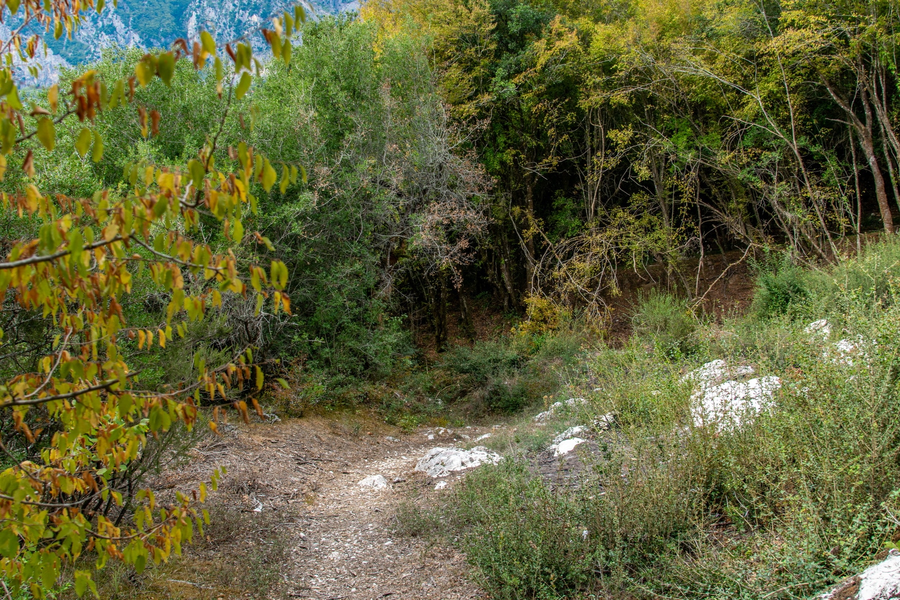
Rodavgi area has a rich flora because of its many springs. Rare endemic plants thrive, such as saffron, wild orchids, mushrooms, and aromatic plants such as thrombus, oregano, tea, sage, etc.
The exceptional climate of Rodavgi is considered responsible for the longevity of the inhabitants who maintain their close family ties and traditional customs of the fests.
A few words about the history of the area: The broader region of the Tzoumerks was, in antiquity, the residence of the Athamans, who were ruthless and aggressive people. The area was named Athamania and the mountains Athamanika after its inhabitants, and it was neighboring to the tribes of Amvrakiotes, Kasopaians, Tymfaians, Thessalians, and Dolopes. At that time, the story of Rodavgi begins, which is related to the ancient settlement “”Athenaion””. This toponym still survives due to a tavern’s name in the contemporary village. Athenaion was named after the homonymous fortress, part of the city’s defense system, where the “”Athenaea”” festival was held.
“”Nisista”” lies near the ancient Athenaion. The toponym connects the settlement with the raids and the domination of the Serbo-Slavs. The toponym is considered to relate to the word “”Island””. This belief is not supported by the location or the Slavic “”-ista”” ending. The metropolitan of Arta, Seraphim Xenopoulos, the Byzantine, mentions about Nisista that in his time (second half of the 19th century), the place was inhabited by 130 families who prayed in the churches of Agia Paraskevi, Agios Nikolaos, and many other chapels.
Ancient Athenian and medieval Nisista are both directly related to Rodavgi since their stories are perplexed. Besides, there are some indications of ancient habitation in the surrounding area: scattered fragments of tiles and a few unpainted clay fragments located mainly in the nearby settlement of Lapsaina. It has been claimed that Havo’s ancient walls and huge stones are preserved under the old settlement, but this can not be confirmed.
During Ottoman rule, Rodavgi was a Kefalochori (main village) and was ruled by the Mukhtar and two Aghas. The settlement was not liberated in 1881, at the same time as Arta. Arachthos River stood as the natural border between the liberated areas and those that continued to be under Turkish rule. Thus, Rodavgi had to wait another 30 years more or less to be liberated with Ioannina in 1913. During this period, many residents of Rodavgi, who could not tolerate the Turkish rule, left the village and settled in “”Elliniko”” at the other riverside. There, they created Pera Nisista, or Nisista of the old Greece, according to the medieval settlement of their area. Today this is the village Kentriko.
The many toponyms associated with Rodavgi create a veil of myth, folklore, and mystery around the village. For example, the toponym “”Chavos me ta Vaenakia kai to Kakolagado”” refers to the buried settlement. The toponym “”Dyo Pedakia”” is about two children who turned to marble in the middle of the mountain slope. “”Nero tis sykias”” lies under Mpistura. The toponym “”Derveni”” refers to the Great Blessing of Waters on Theophany. The most popular folklore tradition is the one that narrates the events of the foundation of the church with the guidance of Agia Paraskevi.
Rodavgi